The best cycling routes in Mallorca


We present 8 cycling routes to explore the island of Mallorca
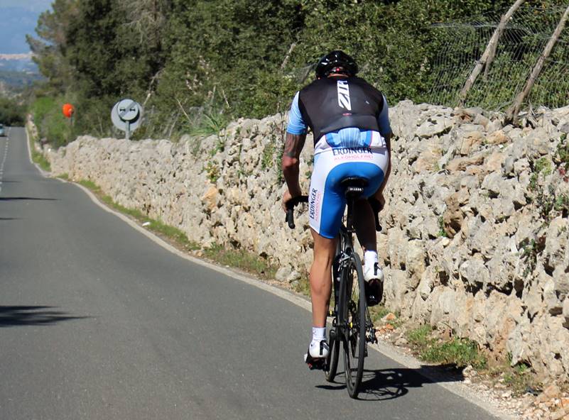
Mallorca is a perfect setting for cycling. The geography of the island allows you to configure spectacular routes. Flat areas, mountain areas, a large number of rural towns, sanctuaries and viewpoints on small hills, 10 mountains above 1,000m and all with the Mediterranean sea in the background.
You can plan lots of combinations, we present you some of the best cycling routes in Mallorca in which we have included emblematic places that you must visit. In most of them you will find some climb so you can enjoy wonderful views while you exercise thoroughly.
ROUTE Nº 1. Alcudia - María de la Salut - Alcudia.
Details; distance 83km, cumulative ascent 412m, maximum height 118m, duration 3:30h
Itinerary; Alcudia, Can Picafort, Muro, Llubí, Maria de la Salut, Santa Margarita, Son Serra de Marina, Can, Picafort, Alcudia.
Description; This is a flat route in the northeast of Mallorca, it runs through the bay of Alcudia and nearby rural towns. There is no significant climb but at the end of the route the cumulative ascent exceeds 400m. Although it seems easy, depending on the rhythm of pedaling and the wind can be a hard route.
View route map nº 1
ROUTE Nº 2. Alcudia - Sanctuary of Cura - Alcudia.
Details; distance 116km, cumulative ascent 860m, maximum height 537m, duration 5:00h
Itinerary; Alcudia, La Puebla, Llubí, Sineu, Lloret de Vista Alegre, Sanctuary of Cura, Algaida, Costitx, La Puebla, Alcudia.
Description; It is a route through the center of the island with departure and arrival from Alcudia. The climb to the Sanctuary of Cura is halfway and consists of 5,6km with a drop of 310m.
See route map nº 2
ROUTE Nº 3. Palma - Coll de Sa Creu - Palma.
Details; distance 48km, cumulative ascent 734m, maximum height 483m, duration 2:30h
Itinerary; Secar de la Real (Palma), Puigpuñent, Galilea, Es Capdellà, Calviá, Coll de Sa Creu, Secar de la Real (Palma).
Description; It is a short route with departure and arrival from Palma. Ride through the Sierra de Tramuntana with constant ups and downs. The two main climbs are Galilea and Coll de Sa Creu.
View route map nº 3
ROUTE Nº 4. Llucmajor - Santuario de Cura - Llucmajor.
Details; distance 84km, cumulative ascent 834m, maximum height 537m, duration 3:30h
Itinerary; Llucmajor, Porreres, Felanitx, Petra, San Juan, Montuiri, Santurari de Cura, Llucmajor.
Description; Flat route with departure and arrival from Llucmajor. The climb to the Sanctuary of Cura is half way, climb 5,6km with a drop of 310m.
See route map nº 4
ROUTE Nº 5. Inca - Puig Major - Coll de Soller - Inca.
Details; distance 108km, accumulated ascent 2,298m, maximum height 1,418m, duration 5:30h
Itinerary; Inca, Mancor, Caimari, Lluch, Puig Major, Soller, Coll de Soller, Santa Maria del Camí, Consell, Binissalem, Inca.
Description; mountain route that goes through the Sierra de Tramuntana with two very important climbs. The first to Puig Major, the highest mountain on the island, 32,5 km ascent and later the Coll de Soller. It is one of the best cycling routes in Mallorca.
View route map nº 5
ROUTE Nº 6. Cala d'Or - Sanctuary of Sant Salvador - Cala d'Or.
Details; distance 47,7km, cumulative ascent 817m, maximum height 471m, duration 2:30h
Itinerary; Cala d'Or, Cas Concos, Felanitx, Sanctuary of Sant Salvador, S'Horta, Cala d'Or
Description; Short route that goes through the south of the island with the ascent to the Sanctuary of Sant Salvador with 5,5km of ascent and a height of 409m. From the Sanctuary you get beautiful views of the south coast of Mallorca.
See route map nº 6
ROUTE Nº 7. Alaró - Orient - Puigpunyent - Alaró.
Details; distance 84,1km, cumulative ascent 1.053m, maximum height 555m, duration 4:00h
Itinerary; Alaró, Orient, Bunyola, Esporles, Puigpunyent, Santa Maria del Camí, Alaró
Description; route that goes through the Sierra de Tramuntana, passes through several mountain locations and has two main climbs, Orient and Puigpunyent.
See route map nº 7
ROUTE Nº 8. Puerto de Pollensa - Sa Calobra - Puerto de Pollensa.
Details; distance 106km, cumulative ascent 2,164m, maximum height 725m, duration 5:50h
Itinerary; Puerto de Pollensa, Pollença, Escorca, La Calobra, Escorca, Caimari, Campanet, Puerto de Pollensa
Description; With departure and arrival from the Puerto de Pollensa this route goes through the Sierra de Tramuntana. The beautiful rise of La Calobra consists on 12,7km, a drop of 765m and slopes of 7%.
See route map nº 8
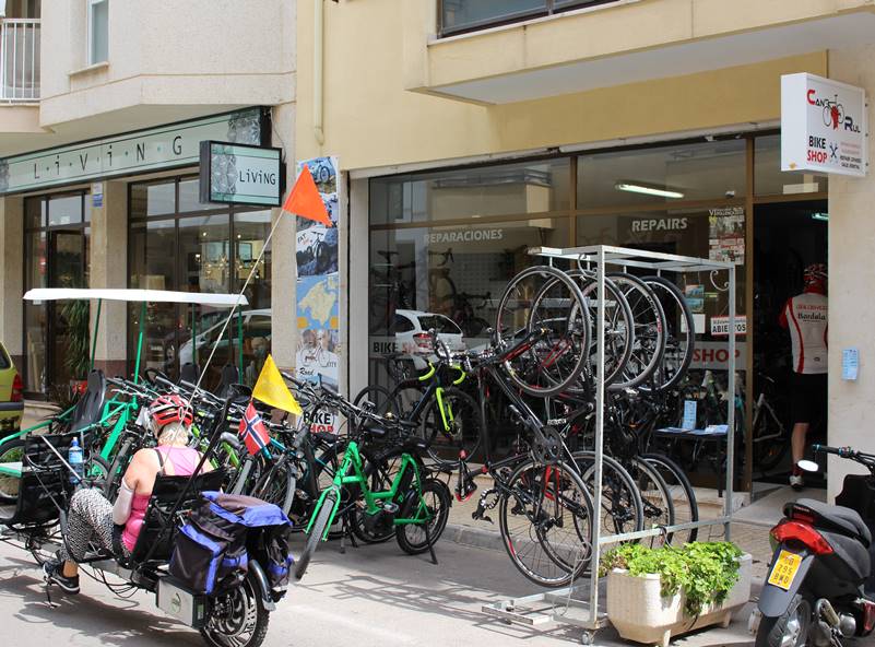
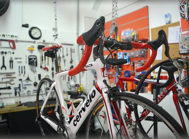
We do not know how much vacation time you have but if you manage to make all these routes you will have traveled the main points in Mallorca. If you have any unforeseen or need to rent a bike or some equipment you can visit any of our recommended stores that we show you next.
Some shops recommended for you to enjoy the best cycling routes in Mallorca: